

Month: August 2025

GIS & Mapping - UAE

Building Tomorrow’s Cities: How GIS Is Shaping Urban Planning in the UAE

The United Arab Emirates is a global symbol of rapid growth and visionary architecture. From Dubai’s towering skyline to Abu Dhabi’s ambitious cultural projects, the nation’s cities are constantly evolving. This relentless pace of development presents unique challenges for urban planners, who must balance economic growth

Read More
Drone-survey-thakhteet

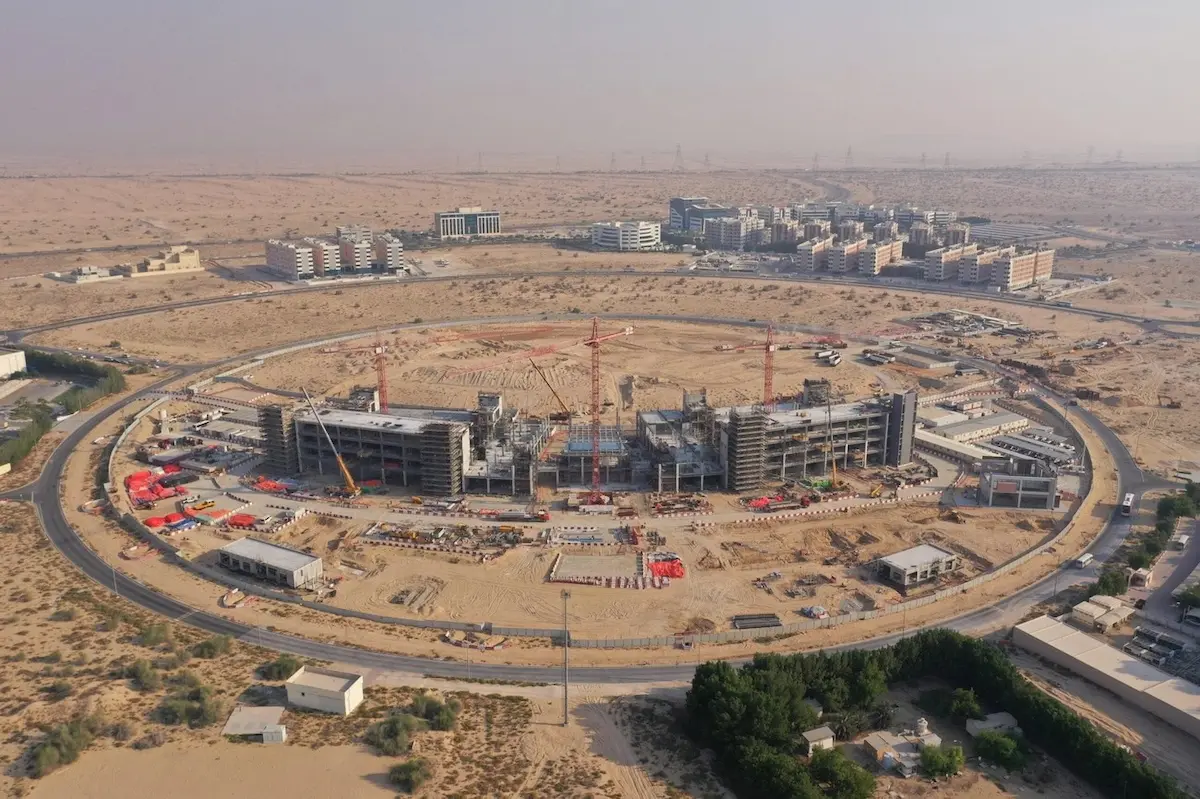
Why Drone Surveying in the UAE Cuts Project Time by 60%: Real Results

Drone surveying of UAE projects has revolutionized how we approach urban development in a country where 87.54% of the population lives in urban areas. With cities constantly expanding and evolving, traditional surveying methods simply can’t keep pace with the demanding timelines of modern construction projects. Additionally,

Read More
terrestrial-laser-scanner-thakhteet

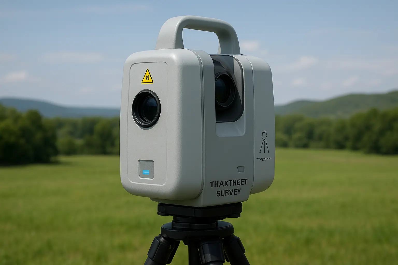
How Terrestrial Scanning and 3D Laser Technology Are Revolutionizing Land Surveys and Aerial Mapping in the UAE

In today’s fast-paced world, where accuracy and efficiency are more crucial than ever, technologies like terrestrial scanning and 3D laser scanning are transforming how we approach land surveys and aerial mapping. Gone are the days of slow, manual measuring techniques.  Today’s tools are fast, incredibly precise,

Read More
3D-Lasser-Scanning-Capturing-Reality

Why 3D Laser Scanning & Modelling Is Transforming Land Surveys in the UAE

In today’s fast‑evolving landscape of UAE infrastructure, construction, and real estate development, 3D laser scanning and modelling are no longer a luxury; it’s a necessity. Whether you’re involved in urban development in Dubai or large‑scale real estate projects across the Emirates, Takhteet Survey Company UAE leads

Read More