
Category: 3D Laser Scanning

  • Home
  • 3D Laser Scanning
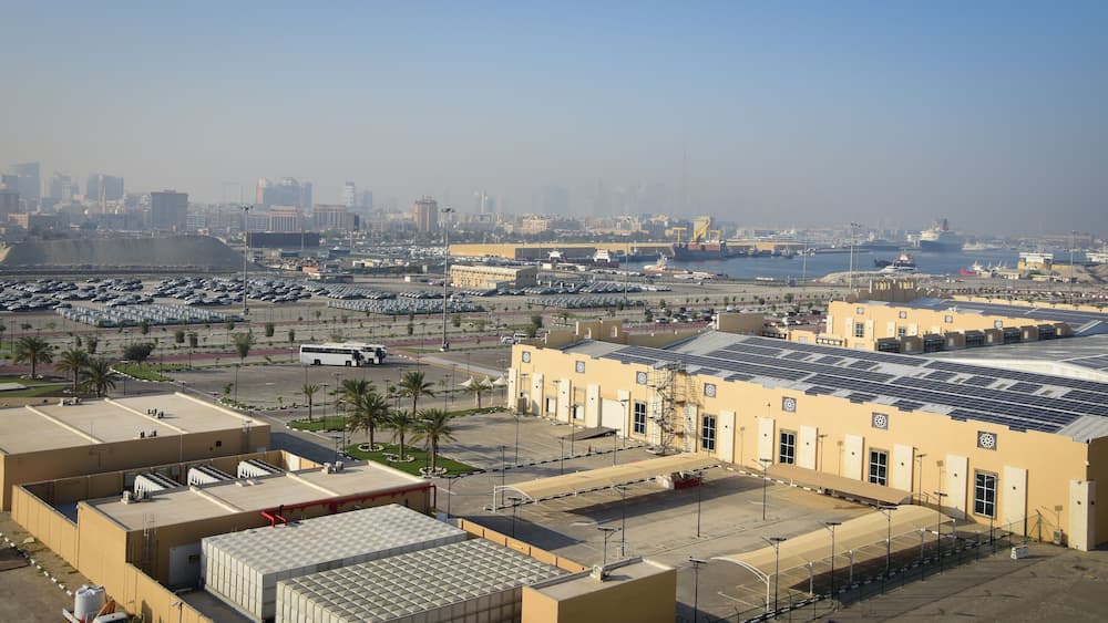
Survey Solar Park at Dubai

Surveying for Solar Farm Development in the UAE

The success of a utility-scale solar farm depends on more than selecting solar panels and securing suitable land. Before construction begins, developers and engineering teams need reliable information about the site’s terrain, boundaries, access routes, drainage conditions, and existing physical features. This is particularly important in

Read More
Survey data handover for UAE infrastructure projects

Survey Data Handover for UAE Infrastructure Projects: A Practical Checklist

Surveying is not complete when field measurements are finished. For construction and infrastructure projects, the survey data must also be processed, checked, organized, and delivered in a format that the next project team can use. A survey may contain accurate measurements but still create problems if

Read More
ndustrial Site Survey Important Before Warehouse Expansion

Warehouse and Industrial Site Survey in Sharjah: What to Check Before Expansion

Expanding a warehouse or industrial facility requires more than identifying available space. Before adding a new warehouse block, extending a production area, increasing outdoor storage or changing vehicle access, businesses need accurate information about the existing site. An industrial site survey in Sharjah helps document boundaries,

Read More
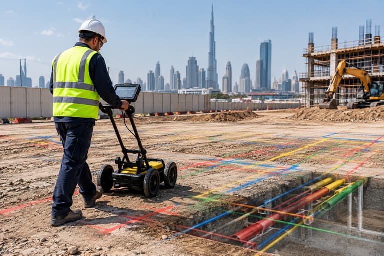
utility survey beneath city skyline

Utility Mapping Before Excavation: What Should Contractors Check?

Utility mapping before excavation helps contractors understand what may be present beneath the ground before digging begins. Existing utility records, site investigation, GPR or other detection methods, survey control, utility mapping and field verification can be combined to create a clearer picture of underground conditions. For

Read More
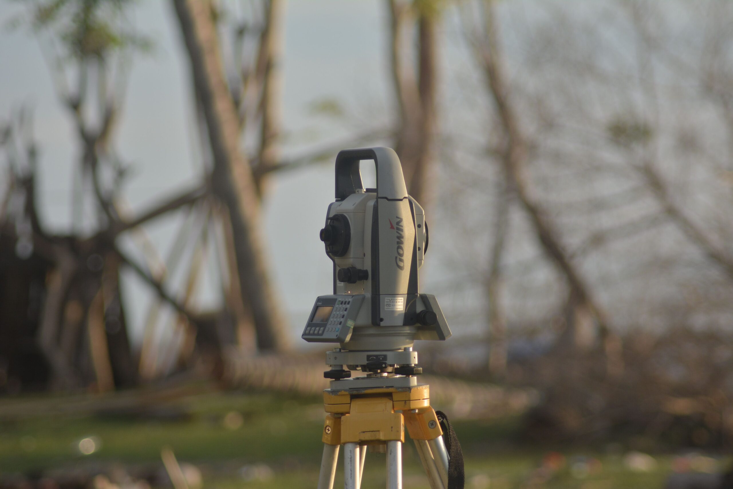
control points in construction surveying using total station

Control Points in Construction Surveying: Why Do They Matter?

Control points are fixed reference points used by surveyors to establish consistent horizontal and vertical positions across a construction site. They provide the reference framework for setting out foundations, columns, walls, roads and other elements accurately throughout a project. For construction projects in Dubai, Sharjah and

Read More
emaar-beachfront-topograhpic survey

How to Calculate Cut-and-Fill Volumes From a Topographic Survey

A cut-and-fill volume calculation compares the existing ground surface with the proposed design level to estimate how much soil or material needs to be removed or added. A topographic survey provides the existing elevation data needed to create this comparison and support earthwork planning. For construction

Read More
land survey in Dubai

Land Survey Cost in Dubai: What Affects the Price?

The land survey cost in Dubai depends on more than the size of the plot. Survey type, site conditions, required accuracy, equipment, project complexity, deliverables, urgency and authority requirements can all affect the final quotation. This is why two projects with similar plot sizes may receive

Read More
survey-land-uae

Survey Control Networks in Dubai: The Foundation of Accurate Construction and Infrastructure Projects

Every accurate construction survey depends on a reliable reference. Before surveyors can position a building, establish a road alignment, or map infrastructure, they need a dependable spatial framework for measurements. This framework is known as a survey control network. For large construction and infrastructure projects in

Read More
deformation monitoring UAE

Deformation Monitoring in UAE: How Survey Technology Detects Structural Movement

Buildings, bridges, towers, retaining structures, tunnels, industrial facilities, and other infrastructure assets can experience movement over time. Some movement may be expected. Other movement may indicate settlement, deformation, structural distress, construction-related changes, or environmental effects. The challenge is identifying whether movement is occurring, how much movement

Read More
volumetric survey

Volumetric Survey in UAE: Accurate Earthwork and Stockpile Measurement

Construction projects across the UAE involve large quantities of soil, sand, aggregates, excavation materials, and other bulk materials. Knowing exactly how much material has been excavated, moved, stored, or placed is essential for controlling costs and managing construction efficiently. This is where a volumetric survey in

Read More