Category: Survey Company

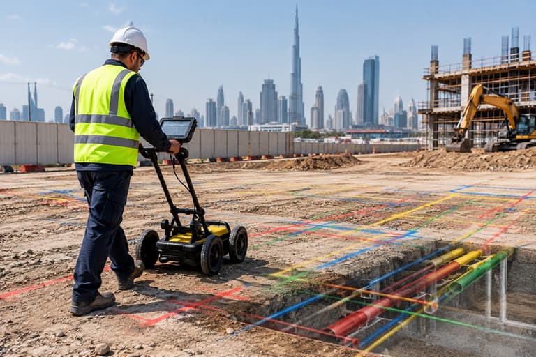
utility survey beneath city skyline

Utility Mapping Before Excavation: What Should Contractors Check?

Utility mapping before excavation helps contractors understand what may be present beneath the ground before digging begins. Existing utility records, site investigation, GPR or other detection methods, survey control, utility mapping and field verification can be combined to create a clearer picture of underground conditions. For

Read More

control points in construction surveying using total station

Control Points in Construction Surveying: Why Do They Matter?

Control points are fixed reference points used by surveyors to establish consistent horizontal and vertical positions across a construction site. They provide the reference framework for setting out foundations, columns, walls, roads and other elements accurately throughout a project. For construction projects in Dubai, Sharjah and

Read More
emaar-beachfront-topograhpic survey

How to Calculate Cut-and-Fill Volumes From a Topographic Survey

A cut-and-fill volume calculation compares the existing ground surface with the proposed design level to estimate how much soil or material needs to be removed or added. A topographic survey provides the existing elevation data needed to create this comparison and support earthwork planning. For construction

Read More
land survey in Dubai

Land Survey Cost in Dubai: What Affects the Price?

The land survey cost in Dubai depends on more than the size of the plot. Survey type, site conditions, required accuracy, equipment, project complexity, deliverables, urgency and authority requirements can all affect the final quotation. This is why two projects with similar plot sizes may receive

Read More
survey-land-uae

Survey Control Networks in Dubai: The Foundation of Accurate Construction and Infrastructure Projects

Every accurate construction survey depends on a reliable reference. Before surveyors can position a building, establish a road alignment, or map infrastructure, they need a dependable spatial framework for measurements. This framework is known as a survey control network. For large construction and infrastructure projects in

Read More
deformation monitoring UAE

Deformation Monitoring in UAE: How Survey Technology Detects Structural Movement

Buildings, bridges, towers, retaining structures, tunnels, industrial facilities, and other infrastructure assets can experience movement over time. Some movement may be expected. Other movement may indicate settlement, deformation, structural distress, construction-related changes, or environmental effects. The challenge is identifying whether movement is occurring, how much movement

Read More
volumetric survey

Volumetric Survey in UAE: Accurate Earthwork and Stockpile Measurement

Construction projects across the UAE involve large quantities of soil, sand, aggregates, excavation materials, and other bulk materials. Knowing exactly how much material has been excavated, moved, stored, or placed is essential for controlling costs and managing construction efficiently. This is where a volumetric survey in

Read More
dubai-construction-setting-out

Construction Setting Out Survey in Dubai: Why Accuracy Matters for Every Building Project

Construction projects in Dubai are becoming larger, more complex, and increasingly dependent on precise coordination between architects, engineers, contractors, and surveyors. From high-rise buildings and residential developments to roads, infrastructure, and commercial projects, even a small positioning error at the beginning of construction can create significant

Read More
Modern Dubai cityscape representing smart construction, digital twin technology, BIM modeling, and advanced surveying solutions in the UAE.

Digital Twin Technology in UAE Construction

The UAE has become a global leader in adopting smart technologies across construction, infrastructure, and urban development. From smart cities and transportation networks to high-rise buildings and industrial facilities, digital innovation is reshaping how projects are planned, built, and managed. One of the most significant advancements

Read More
Ground Penetrating Radar (GPR) survey conducted beneath a Dubai overpass to detect underground utilities before road and infrastructure construction.

Ground Penetrating Radar (GPR) vs Traditional Utility Detection: Which Method Is Best for UAE Construction Projects?

Excavation is one of the most critical phases of any construction project. Whether it’s installing utilities, constructing foundations, expanding roads, or developing infrastructure, digging without accurate knowledge of underground assets can lead to costly mistakes. Across the UAE, contractors frequently encounter buried utilities such as water

Read More