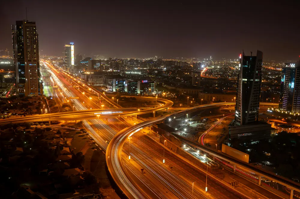
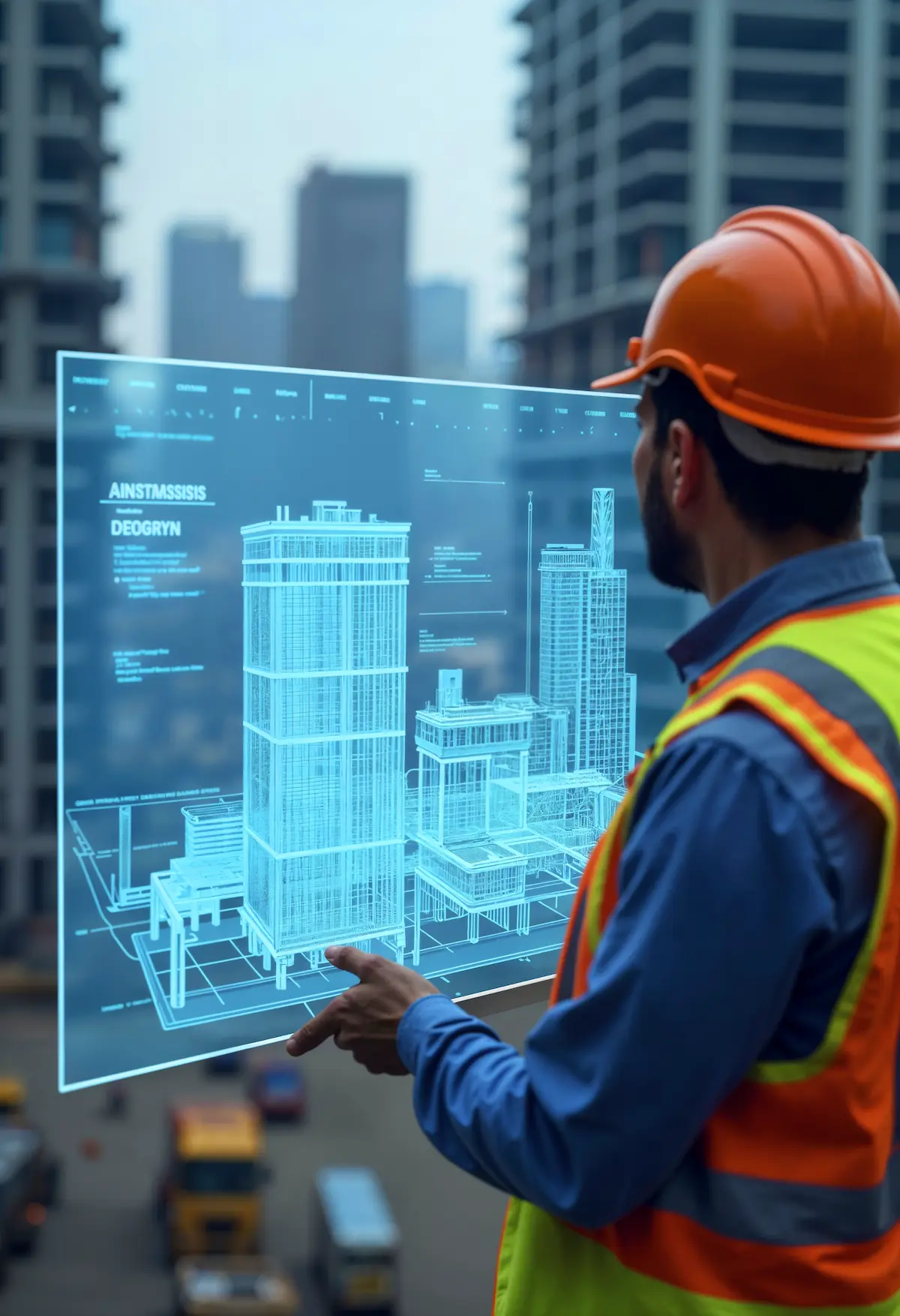
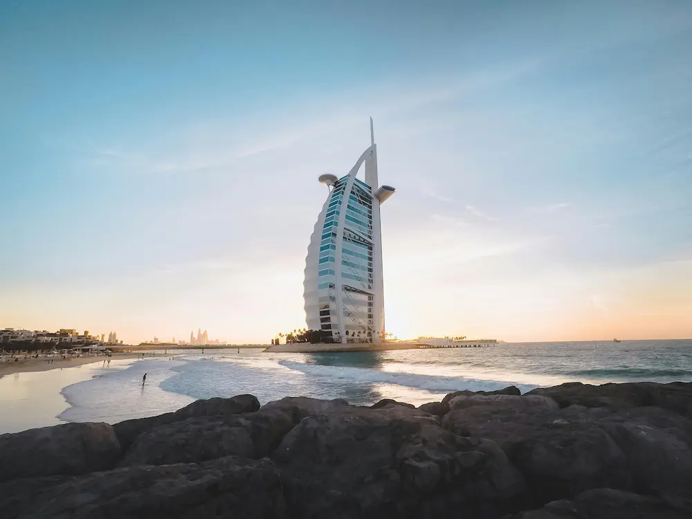
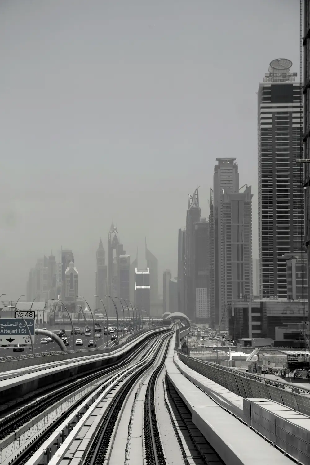
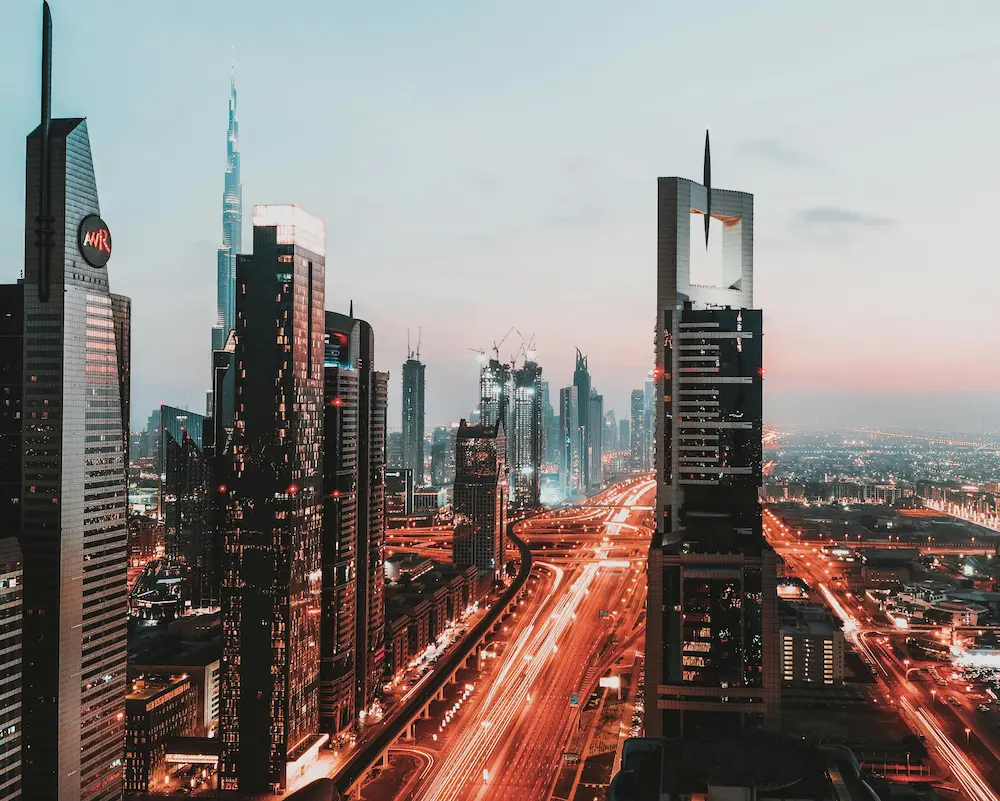
Category: Aerial Mapping

urban infrastructure development in Dubai highlighting BIM-based planning in modern construction

What is Building Information Modeling (BIM) and Why It Matters in Modern Construction?

The construction industry is changing fast. Projects today are more complex, timelines are tighter, and there is very little room for error. This is where Building Information Modeling (BIM) is making a big difference. If you are planning a construction project in the UAE, understanding BIM

Read More
Engineer reviewing building scale models and project plans as part of a BIM modelling and construction survey process in an architectural office.

How Scan-to-BIM Works and Why It’s Beneficial for UAE Construction Projects

Scan-to-BIM is a process that converts 3D laser scanning data into a digital Building Information Model (BIM). In UAE construction projects, this workflow captures accurate measurements of existing structures and converts them into precise digital models used for design coordination, renovation planning, and infrastructure management. Why

Read More
GIS-BIM-survey

Why GIS and BIM Work Together in Corridor Mapping Projects

GIS and BIM work together in corridor mapping projects by combining geospatial terrain data with detailed infrastructure design models. In UAE infrastructure development, GIS provides large-scale geographic context while BIM provides engineering-level design accuracy. Together they improve planning, reduce coordination risks, and support efficient delivery of

Read More
Underground Utility Survey Dubai

Do I Need an Underground Utility Survey Before Construction in the UAE?

An underground utility survey identifies buried infrastructure such as water pipelines, electrical cables, sewer networks, and telecom lines before excavation begins. In UAE construction projects, these surveys help prevent accidental damage, safety hazards, and project delays. Utility mapping is often required for infrastructure planning, urban developments,

Read More
dubai-auto-leveling-survey

How Auto-Levelers Improve Survey Accuracy in UAE Construction Projects

An auto-leveler is a surveying instrument used to measure accurate elevation differences between points on a construction site. In UAE construction projects, auto-levelers help surveyors verify road levels, drainage slopes, structural foundations, and gate levels. Accurate elevation measurement prevents structural misalignment, water drainage issues, and costly

Read More
Futuristic Dubai city landscape with high-rise buildings and infrastructure reflecting professional land survey Dubai capabilities

3D Laser Scanning in UAE: Why It’s Becoming Essential for Structural Verification in 2026

3D laser scanning in the UAE captures millions of precise measurement points to document existing structures with high accuracy. It is increasingly used for structural as-built surveys, renovation planning, infrastructure projects, and authority submissions. For commercial developments in Dubai and Abu Dhabi, scan-based verification reduces coordination

Read More
Futuristic Dubai city landscape with high-rise buildings and infrastructure reflecting professional land survey Dubai capabilities

The 3 Main Types of Land Surveying Used in UAE Projects

The three main types of land surveying used in UAE projects are boundary surveys, topographic surveys, and construction layout surveys. Each serves a different purpose  from defining legal property limits to mapping terrain and ensuring structures are built in the correct position. In commercial projects, a

Read More
Professional Surveyors Actually Check on a Construction Site

What Do Professional Surveyors Actually Check on a Construction Site?

A land survey defines property boundaries, terrain, and site features before construction begins. A structural as-built survey documents what has actually been constructed on site after or during construction. In the UAE, both serve different regulatory and project purposes. Choosing the wrong one can delay approvals,

Read More
Aerial night view of Dubai urban development supporting structural as built survey documentation in UAE.

Land Survey vs Structural As-Built Survey in UAE

A land survey defines property boundaries, terrain, and site features before construction begins. A structural as-built survey documents what has actually been constructed on site after or during construction. In the UAE, both serve different regulatory and project purposes. Choosing the wrong one can delay approvals,

Read More
land-survey-company-uae

Top Land Surveying Companies in the United Arab Emirates 2026

Here are some of the most notable companies in the UAE offering land surveying services in 2026. They combine land measurement, site mapping, commercial development experience, and supporting survey capabilities that help you move through approvals, planning, and construction stages with confidence. Whether you are a

Read More