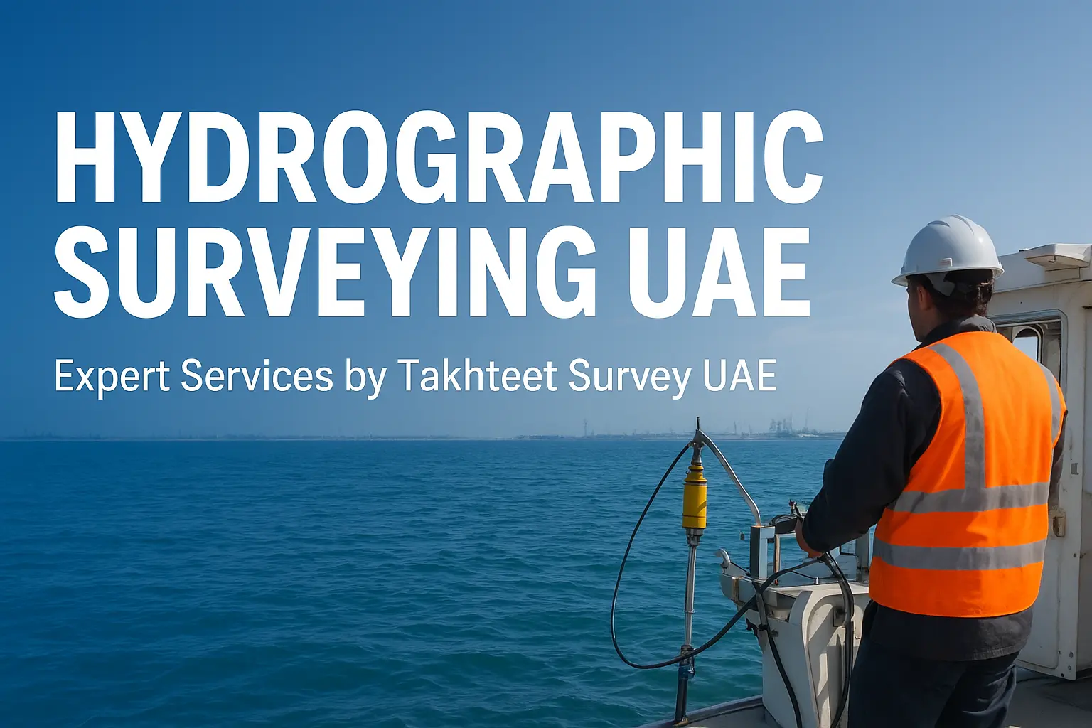
Category: Survey Company

terrestrial-laser-scanner-thakhteet

How Terrestrial Scanning and 3D Laser Technology Are Revolutionizing Land Surveys and Aerial Mapping in the UAE

In today’s fast-paced world, where accuracy and efficiency are more crucial than ever, technologies like terrestrial scanning and 3D laser scanning are transforming how we approach land surveys and aerial mapping. Gone are the days of slow, manual measuring techniques.  Today’s tools are fast, incredibly precise,

Read More
3D-Lasser-Scanning-Capturing-Reality

Why 3D Laser Scanning & Modelling Is Transforming Land Surveys in the UAE

In today’s fast‑evolving landscape of UAE infrastructure, construction, and real estate development, 3D laser scanning and modelling are no longer a luxury; it’s a necessity. Whether you’re involved in urban development in Dubai or large‑scale real estate projects across the Emirates, Takhteet Survey Company UAE leads

Read More
drone-survey-uae

How Accurate Are Drone Surveys? Expert Insights from Dubai

With the rapid growth of smart-city projects, mega-developments, and infrastructure expansion across the UAE, drone surveying has become a frontline technology promising speed and precision. But exactly how accurate are drone surveys, especially in demanding environments like Dubai? In this blog, UAE experts and industry insiders

Read More
survey-land-site-dubai

Site Survey vs Land Survey: What’s the Difference and Which One Do You Need?

If you are planning a construction project, buying land, or managing a commercial property in Dubai or anywhere in the UAE, you have probably come across terms like site survey and land survey. At first glance, they might sound interchangeable, but they serve different purposes and

Read More
GIS Mapping is Transforming Urban Planning and Infrastructure Development | Takhteet Survey

How GIS Mapping is Transforming Urban Planning and Infrastructure Development

Modern-day urban planning and infrastructure development have been compounded by issues such as changes in the rate of urbanization, population growth, and environment among other issues. In response to these challenges, it has been discovered that Geographic Information System (GIS) mapping is a revolutionary technology for

Read More
Cost-Effective Project Management with Advanced Surveying Techniques | Takhteet Survey

Cost-Effective Project Management with Advanced Surveying Techniques

The construction and development sector has become highly competitive and hence it is very relevant to manage costs and at the same time ensure that the quality is not compromised. Modern surveying tools have been recognized as a revolution in the sense that they improve the

Read More
Common Survey Mistakes and How to Avoid Them | Takhteet Survey

Common Survey Mistakes and How to Avoid Them

Surveys are vital components of any construction and infrastructure developmental projects which help in offering information on the utilization of land, structural development and effects on the environment. However, small mistakes when surveying can result in time-consuming loss of money, and increased risks to safety or

Read More
Leading Survey Company in the UAE | Takhteet Survey

Discover the Leading Survey Company in the UAE

The UAE is known for its rapid growth in the field of infrastructure and urban growth hence requires precision and effectiveness in surveying services in every project. Thus, to further satisfy the ever-growing demand for quality survey services, Takhteet Survey is regarded as the leading survey

Read More