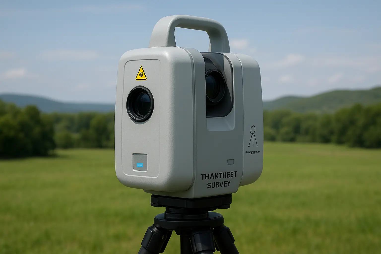
How Terrestrial Scanning and 3D Laser Technology Are Revolutionizing Land Surveys and Aerial Mapping in the UAE
In today’s fast-paced world, where accuracy and efficiency are more crucial than ever, technologies like terrestrial scanning and 3D laser scanning are transforming how we approach land surveys and aerial mapping. Gone are the days of slow, manual measuring techniques. Today’s tools are fast, incredibly precise,
Read More
