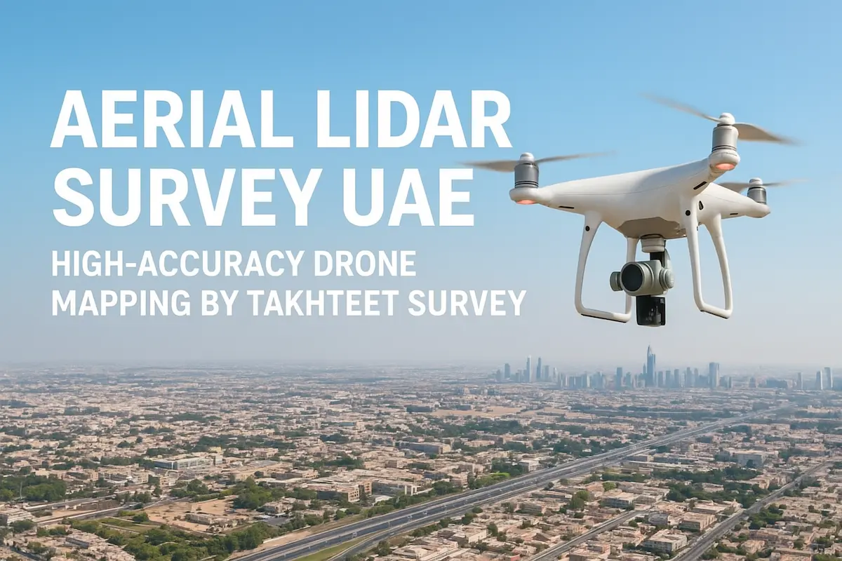
Month: October 2025

3d-laser-scanning-uae-takhteet

The Role of 3D Laser Scanning in Oil & Gas and Industrial Projects in the UAE

Industrial facilities, refineries, and oil & gas installations in the UAE operate under tight schedules, strict safety rules, and high cost pressures. They also face growing demands to digitize assets for predictive maintenance, faster turnarounds, and better regulatory reporting. In this environment, 3D laser scanning —

Read More
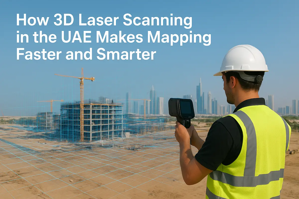
mobile-mapping-uae-takhteet

Mobile Mapping in the UAE: Transforming Infrastructure & Mobility with High-Precision Geospatial Data

In the United Arab Emirates (UAE), rapid infrastructure growth, smart city ambitions, autonomous mobility initiatives and large-scale redevelopment mean that accurate, up-to-date geospatial data is no longer optional — it is foundational. That’s where the field of mobile mapping in the UAE plays a central role:

Read More
3d-laser-scanning-uae-takhteet

How 3D Laser Scanning and Mapping UAE Is Redefining Surveying in the Emirates

In the fast-growing construction and development environment of the United Arab Emirates, precision and speed are not optional — they are essential. 3D laser scanning and mapping UAE is taking the surveying and mapping industry to a whole new level. For companies, architects, engineers, and government

Read More
aerial-lidar-takhteet-survey-uae

What Is Aerial LiDAR? Understanding the High-Precision Eyes in the Skies

Have you ever wondered how modern cities, smart infrastructure projects, and even air taxis get mapped so precisely? The secret often lies in aerial LiDAR, a laser scanning technology that’s changing how we see, model, and build the world. “LiDAR” stands for Light Detection and Ranging

Read More