
An underground utility survey identifies buried infrastructure such as water pipelines, electrical cables, sewer networks, and telecom lines before excavation begins. In UAE construction projects, these surveys help prevent accidental damage, safety hazards, and project delays. Utility mapping is often required for infrastructure planning, urban developments, and major construction activities.
Why Underground Utility Surveys Are Critical in UAE Construction
Construction across the UAE is happening in highly developed urban environments where underground infrastructure networks are already dense.
Underneath a typical construction site in Dubai or Abu Dhabi, you may find:
- water supply pipelines
- sewer drainage systems
- electrical power cables
- telecommunications infrastructure
- district cooling pipelines
- gas distribution lines
When excavation begins without accurate knowledge of these utilities, contractors risk damaging critical infrastructure.
Such incidents can result in:
- project shutdowns
- expensive repair costs
- safety incidents
- regulatory penalties
An underground utility survey reduces these risks by identifying what lies beneath the surface before excavation begins.
What Is an Underground Utility Survey?
An underground utility survey is a geospatial investigation used to detect and map buried infrastructure beneath a project site.
Survey teams locate and document underground services including:
- water pipelines
- stormwater drainage networks
- sewage lines
- telecom fiber cables
- electrical transmission cables
- gas pipelines
The goal is to produce a utility map showing the position, depth, and route of buried services.
This information allows engineers and contractors to plan excavation safely and avoid damaging existing infrastructure.
Why Utility Surveys Matter for UAE Infrastructure Projects
In many UAE cities, underground utilities have been installed over several decades as infrastructure expanded.
However, records may be incomplete or outdated.
This means design drawings do not always reflect the current underground conditions.
Without proper verification, construction teams often rely on assumptions.
This can lead to conflicts between new construction works and existing infrastructure.
Utility surveys provide verified data that supports safer project planning.
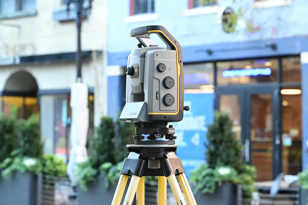
Technologies Used in Underground Utility Surveys
Modern utility surveys use several advanced detection technologies.
Ground Penetrating Radar (GPR)
Ground-penetrating radar is one of the most widely used technologies for detecting underground utilities.
GPR sends electromagnetic signals into the ground and analyzes the reflected signals to identify buried objects.
It is particularly effective for detecting:
- non-metallic pipes
- plastic conduits
- concrete utilities
- buried structures
Electromagnetic Utility Detection
Electromagnetic detection equipment is used to locate metallic infrastructure, such as:
- power cables
- metal pipelines
- telecom conduits
This technology tracks the electromagnetic field around conductive utilities.
It is especially useful in dense urban areas with complex underground networks.
Utility Mapping and Data Integration
Once utilities are detected, survey teams map their positions and produce detailed utility drawings.
These drawings typically include:
- utility routes
- depth information
- connection points
- infrastructure type
The resulting documentation allows engineers to incorporate underground infrastructure into project design.
When Do Construction Projects Require Utility Surveys?
Utility surveys are typically required before any excavation or heavy ground disturbance.
Common project scenarios include:
Building Construction
Before excavation begins for foundations or basements, underground infrastructure must be identified.
Unexpected utilities can disrupt excavation operations and force redesign.
Infrastructure Development
Large infrastructure projects such as roads and pipelines often intersect with existing utilities.
Utility mapping helps engineers plan route adjustments early.
Renovation and Redevelopment Projects
Older urban developments may contain undocumented utilities.
Utility surveys help identify existing infrastructure before upgrades or expansion.
Utility Installation Projects
When installing new pipelines or cables, contractors must avoid conflicts with existing networks.
Utility surveys help ensure new services are installed safely.
Risks of Skipping Underground Utility Surveys
Failing to identify underground utilities before excavation exposes projects to significant risks.
Service Disruption
Damaging a utility line can interrupt water supply, power distribution, or telecommunications services.
This can affect entire neighborhoods or industrial zones.
Safety Hazards
Utility strikes can cause serious safety incidents.
Examples include:
- electrical shocks from damaged power cables
- gas leaks from ruptured pipelines
- flooding from broken water mains
Safety risks increase significantly without proper underground verification.
Project Delays
Unexpected utility disruptions often require immediate construction shutdowns while repairs and redesigns are completed.
This can disrupt construction schedules and increase project costs.
Financial and Legal Consequences
Repairing damaged infrastructure can be extremely expensive.
Contractors may also face liability claims or regulatory penalties.
How Utility Surveys Improve Project Planning
Utility surveys provide engineers with reliable underground data.
This improves planning in several ways.
Safer Excavation
Construction teams know exactly where utilities are located before digging begins.
Better Infrastructure Coordination
Engineers can adjust project designs to avoid conflicts with existing networks.
Improved Project Scheduling
With verified utility data, contractors avoid unexpected delays caused by hidden infrastructure.
Reduced Construction Risk
Accurate information reduces uncertainty and improves construction confidence.
The Role of Surveying in Utility Detection
Utility surveys are typically performed by specialized surveying teams using advanced detection technology.
Survey professionals integrate underground detection with other surveying methods such as:
- land surveys
- topographic surveys
- construction layout surveys
These surveys provide the geographic framework needed to map underground infrastructure accurately.
For example, before infrastructure construction begins, developers may also require a land survey to verify site boundaries and terrain conditions.
Learn more about land surveying services
Utility Surveys and Structural Verification
After construction is completed, projects may also require structural as-built surveys.
These surveys verify the final position of structural elements and infrastructure installations.
Accurate documentation ensures construction aligns with approved designs and real-world conditions.
Learn more about structural verification surveys
Together, utility surveys and structural verification surveys support accurate documentation throughout the project lifecycle.
How Underground Utility Surveys Support Smart Infrastructure Development
As cities across the UAE adopt smart infrastructure systems, accurate underground data becomes even more valuable.
Utility mapping contributes to:
- digital infrastructure models
- smart city planning
- asset lifecycle management
- infrastructure maintenance planning
Accurate underground data allows infrastructure operators to manage networks more efficiently over time.
FAQs
What is an underground utility survey?
An underground utility survey detects and maps buried infrastructure such as water pipes, power cables, and telecom lines before excavation begins.
Why are utility surveys important in construction?
They prevent damage to existing infrastructure and reduce safety risks during excavation.
Are underground utility surveys required in the UAE?
While requirements vary by project, they are strongly recommended before excavation in urban construction environments.
What technology is used in utility detection?
Ground penetrating radar and electromagnetic detection equipment are commonly used.
Can construction proceed without a utility survey?
It can, but the risk of damaging underground infrastructure increases significantly.
Conclusion
Underground utility surveys play a critical role in modern construction planning across the UAE. As infrastructure networks grow more complex, accurate detection of buried utilities becomes essential for safe excavation and efficient project delivery.
By identifying underground infrastructure before construction begins, developers and contractors reduce safety risks, prevent costly service disruptions, and maintain project timelines.
Reliable utility mapping provides the data needed to plan construction with confidence.
Planning Excavation or Infrastructure Construction?
Before excavation begins, understanding the location of underground utilities can prevent costly project disruptions.
Discuss your surveying requirements with Takhteet Survey UAE to determine the most appropriate survey approach for your project.
Accurate data before excavation protects both infrastructure and construction timelines.
Comments are closed