Category: Lidar Equipped UAV

  • Home
  • Lidar Equipped UAV
aerial-lidar-takhteet-survey-uae

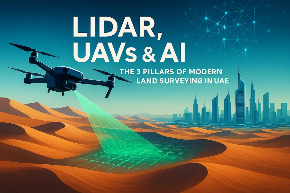
What Is Aerial LiDAR? Understanding the High-Precision Eyes in the Skies

Have you ever wondered how modern cities, smart infrastructure projects, and even air taxis get mapped so precisely? The secret often lies in aerial LiDAR, a laser scanning technology that’s changing how we see, model, and build the world. “LiDAR” stands for Light Detection and Ranging

Read More
hydrographic-surveying-uae

Hydrographic Surveying UAE: Expert Services by Takhteet Survey UAE

Hydrographic surveying is a specialized field of surveying that focuses on measuring and mapping water bodies such as oceans, rivers, lakes, and coastal areas. In the UAE, with its rapidly growing infrastructure, ports, and offshore projects, hydrographic surveying has become a vital service for engineers, contractors,

Read More
gis-mapping-air-corridor-takhteet

UAE Leads the Way in Air Corridor Mapping & Advanced GIS Technologies

The United Arab Emirates (UAE) has long been recognized as a global leader in smart city innovation, futuristic transport systems, and cutting-edge infrastructure. Today, the country is once again in the spotlight, spearheading a groundbreaking initiative in air corridor mapping for drones and air taxis, powered

Read More
lidar,UAVs-takhteet-survey

Building Tomorrow’s Cities: How GIS Is Shaping Urban Planning in the UAE

The United Arab Emirates is recognized worldwide for its breathtaking skylines, ambitious mega-projects, and rapid urban development. From the towering Burj Khalifa to futuristic hubs like Masdar City, every iconic structure rests on a foundation of precision and meticulous planning. At the heart of this foundation

Read More
Drone-survey-thakhteet

Why Drone Surveying in the UAE Cuts Project Time by 60%: Real Results

Drone surveying of UAE projects has revolutionized how we approach urban development in a country where 87.54% of the population lives in urban areas. With cities constantly expanding and evolving, traditional surveying methods simply can’t keep pace with the demanding timelines of modern construction projects. Additionally,

Read More
LiDAR Technology for Enhanced Survey Accuracy | Takhteet Survey

Leveraging LiDAR Technology for Enhanced Survey Accuracy

Surveys are important in construction, urban planning, environmental management and many other fields. Other conventional approaches may work well but sometimes pull a lot of time and other resources to get the right data. However, as time went on, such enhancements as LiDAR (Light Detection and

Read More
LiDAR UAVs Essential for Remote Areas | Takhteet Survey

Why are LiDAR UAVs Essential for Remote Areas?

Modern technologies are known to have greatly enhanced approaches to surveying and mapping more so with innovative technology advancements. Out of all these developments, the most revolutionary in current application is the use of LiDAR-equipped UAV in UAE, especially when it comes to large and difficult-to-access

Read More