Why Drone Surveying in the UAE Cuts Project Time by 60%: Real Results
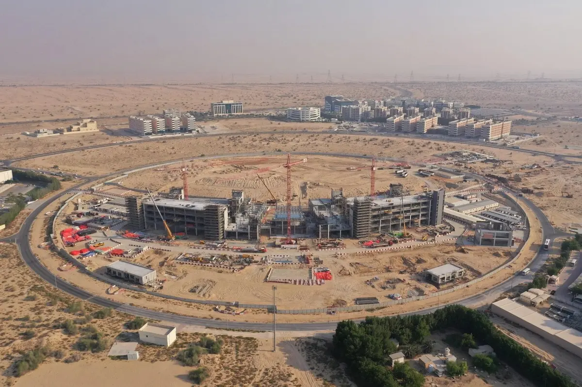
Drone surveying of UAE projects has revolutionized how we approach urban development in a country where 87.54% of the population lives in urban areas. With cities constantly expanding and evolving, traditional surveying methods simply can’t keep pace with the demanding timelines of modern construction projects. Additionally,
Read More