Tag: GIS Mapping

3d-laser-scanning-uae-takhteet

How 3D Laser Scanning and Mapping UAE Is Redefining Surveying in the Emirates

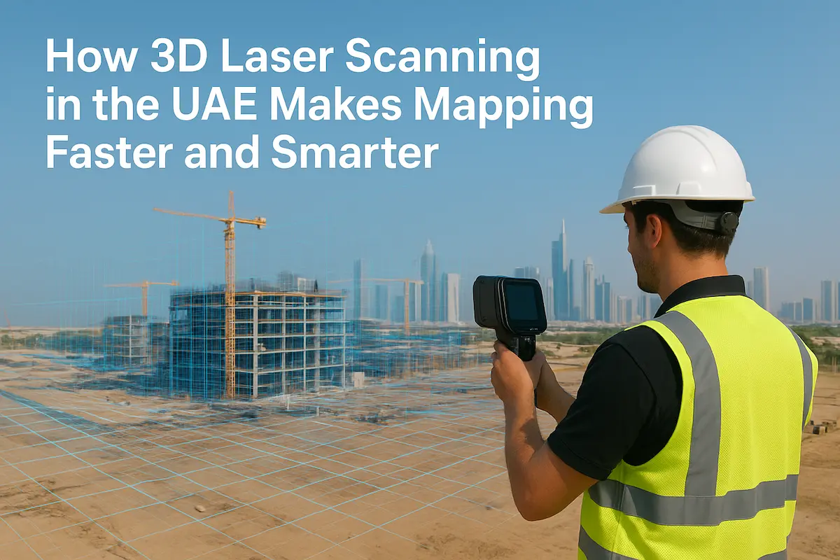
In the fast-growing construction and development environment of the United Arab Emirates, precision and speed are not optional — they are essential. 3D laser scanning and mapping UAE is taking the surveying and mapping industry to a whole new level. For companies, architects, engineers, and government

Read More
aerial-lidar-takhteet-survey-uae

What Is Aerial LiDAR? Understanding the High-Precision Eyes in the Skies

Have you ever wondered how modern cities, smart infrastructure projects, and even air taxis get mapped so precisely? The secret often lies in aerial LiDAR, a laser scanning technology that’s changing how we see, model, and build the world. “LiDAR” stands for Light Detection and Ranging

Read More
hydrographic-surveying-uae

Hydrographic Surveying UAE: Expert Services by Takhteet Survey UAE

Hydrographic surveying is a specialized field of surveying that focuses on measuring and mapping water bodies such as oceans, rivers, lakes, and coastal areas. In the UAE, with its rapidly growing infrastructure, ports, and offshore projects, hydrographic surveying has become a vital service for engineers, contractors,

Read More
gis-mapping-air-corridor-takhteet

UAE Leads the Way in Air Corridor Mapping & Advanced GIS Technologies

The United Arab Emirates (UAE) has long been recognized as a global leader in smart city innovation, futuristic transport systems, and cutting-edge infrastructure. Today, the country is once again in the spotlight, spearheading a groundbreaking initiative in air corridor mapping for drones and air taxis, powered

Read More
lidar,UAVs-takhteet-survey

Building Tomorrow’s Cities: How GIS Is Shaping Urban Planning in the UAE

The United Arab Emirates is recognized worldwide for its breathtaking skylines, ambitious mega-projects, and rapid urban development. From the towering Burj Khalifa to futuristic hubs like Masdar City, every iconic structure rests on a foundation of precision and meticulous planning. At the heart of this foundation

Read More
GIS & Mapping - UAE

Building Tomorrow’s Cities: How GIS Is Shaping Urban Planning in the UAE

The United Arab Emirates is a global symbol of rapid growth and visionary architecture. From Dubai’s towering skyline to Abu Dhabi’s ambitious cultural projects, the nation’s cities are constantly evolving. This relentless pace of development presents unique challenges for urban planners, who must balance economic growth

Read More
GIS Mapping is Transforming Urban Planning and Infrastructure Development | Takhteet Survey

How GIS Mapping is Transforming Urban Planning and Infrastructure Development

Modern-day urban planning and infrastructure development have been compounded by issues such as changes in the rate of urbanization, population growth, and environment among other issues. In response to these challenges, it has been discovered that Geographic Information System (GIS) mapping is a revolutionary technology for

Read More