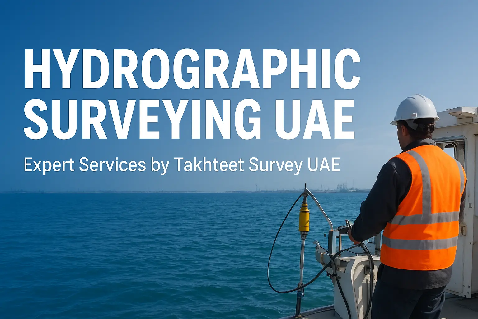
Hydrographic surveying is a specialized field of surveying that focuses on measuring and mapping water bodies such as oceans, rivers, lakes, and coastal areas. In the UAE, with its rapidly growing infrastructure, ports, and offshore projects, hydrographic surveying has become a vital service for engineers, contractors, and government agencies. Takhteet Survey UAE is a leading provider of hydrographic surveying services, delivering accurate, reliable, and up-to-date data for a wide range of projects.
What is Hydrographic Surveying?
Hydrographic surveying involves collecting, analyzing, and presenting data related to the depth, shape, and features of water bodies. Unlike land surveying, hydrographic surveying focuses on underwater terrains, navigation channels, and coastal zones. The survey data helps in planning construction projects, maintaining safe navigation routes, managing coastal areas, and supporting environmental studies.
Importance of Hydrographic Surveying in the UAE
The UAE has a long coastline and significant maritime activity, including ports, shipping lanes, oil and gas operations, and the construction of artificial islands. Hydrographic surveys are essential in the UAE for:
- Marine Navigation: Ensuring safe passage for ships by mapping underwater hazards and depth variations.
- Port Development: Planning docks, terminals, and harbor dredging.
- Coastal Engineering: Designing breakwaters, seawalls, and shoreline protection structures.
- Offshore Construction: Supporting oil, gas, and renewable energy projects.
- Environmental Studies: Monitoring seabed conditions and assessing ecological impact.
By using advanced hydrographic surveying techniques, Takhteet Survey UAE provides clients with precise and actionable data to support these projects.
Methods and Technologies in Hydrographic Surveying
Modern hydrographic surveying relies on a combination of traditional techniques and advanced technology. The main methods include:
- Single Beam Echo Sounding: Measures water depth at a single point. Simple but effective for basic surveys.
- Multi-Beam Echo Sounding: Captures detailed data across wide areas for accurate 3D seabed mapping.
- Side-Scan Sonar: Produces images of the seabed, helping identify underwater objects and structures.
- GPS and GNSS Systems: Provide precise positioning for survey data.
- LiDAR Bathymetry: Uses laser technology to measure shallow water depths and coastal areas.
- ROV (Remotely Operated Vehicles) Surveys: Used for inspecting underwater structures and collecting high-resolution data.
By combining these technologies, Takhteet Survey UAE ensures comprehensive hydrographic surveys with high accuracy, suitable for engineering, navigation, and environmental purposes.
Applications of Hydrographic Surveying
Hydrographic surveying has a wide range of applications in the UAE. Key areas include:
- Navigation and Safety: Hydrographic data is used to create nautical charts, ensuring ships and vessels navigate safely.
- Infrastructure Projects: Construction of bridges, ports, dams, and offshore platforms requires accurate underwater measurements.
- Environmental Management: Surveys help monitor changes in water bodies, identify erosion, and assess habitat conditions.
- Dredging Operations: Ensures proper planning and monitoring of dredging for ports and harbors.
- Flood and Coastal Risk Management: Supports projects aimed at preventing flooding and managing water resources.
Takhteet Survey UAE has extensive experience in delivering surveys for all these applications, making them a trusted partner for both government and private projects.
Why Choose Takhteet Survey UAE for Hydrographic Surveying?
Choosing a reliable hydrographic surveying company is crucial for the success of your project. Here’s why Takhteet Survey UAE stands out:
- Expert Team: Experienced surveyors and engineers trained in the latest hydrographic techniques.
- Advanced Equipment: Use of cutting-edge tools like multi-beam echo sounders, side-scan sonar, and LiDAR systems.
- Accurate Data: Precise measurements that reduce errors in project planning and execution.
- Timely Delivery: Fast and efficient survey execution, meeting project deadlines.
- Custom Solutions: Tailored surveys to meet the specific needs of ports, offshore projects, and coastal developments.
- Compliance: Surveys are conducted following UAE regulations and international standards.
By partnering with Takhteet Survey UAE, clients gain access to reliable hydrographic data that supports decision-making and reduces risks during project implementation.
Benefits of Hydrographic Surveying
Hydrographic surveys provide multiple benefits for construction, maritime, and environmental projects:
-
- Safety: Identifying underwater hazards reduces the risk of accidents.
- Cost Efficiency: Accurate data prevents costly mistakes in design and construction.
- Environmental Protection: Helps in sustainable development by assessing and monitoring ecosystems.
- Project Planning: Enables better design and execution of marine and coastal projects.
- Regulatory Compliance: Ensures projects meet UAE government standards and safety guidelines.
- Safety: Identifying underwater hazards reduces the risk of accidents.
Future of Hydrographic Surveying in the UAE
With the UAE continuing to invest in infrastructure, offshore energy, and maritime projects, the demand for hydrographic surveying services is set to grow. Emerging technologies such as autonomous survey vessels, AI-based data analysis, and advanced 3D modeling will further enhance survey accuracy and efficiency. Companies like Takhteet Survey UAE are at the forefront of adopting these innovations, ensuring clients receive the most precise and up-to-date hydrographic data.
Conclusion
Hydrographic surveying is an essential service for the UAE’s maritime, coastal, and offshore projects. Accurate survey data ensures safe navigation, supports infrastructure development, and helps protect the environment. Takhteet Survey UAE offers expert hydrographic surveying services using advanced technology and a skilled team, making them a reliable partner for any marine or coastal project.
If you are looking for professional hydrographic surveying services in the UAE, Takhteet Survey UAE is your trusted choice for accuracy, reliability, and timely delivery.
FAQs
What is the purpose of hydrographic surveying in the UAE?
Hydrographic surveying in the UAE helps map underwater terrains, measure water depths, and ensure safe navigation for ships. It also supports port construction, offshore energy projects, dredging, and environmental studies.
How much does hydrographic surveying cost in the UAE?
The cost of hydrographic surveying in the UAE depends on the size of the project, location, and required technology. Takhteet Survey UAE provides customized and cost-effective survey solutions based on project needs.
Which company offers the best hydrographic surveying services in UAE?
Takhteet Survey UAE is a trusted company providing accurate hydrographic surveying services across the UAE. With advanced technology and expert teams, they ensure reliable results for marine and coastal projects.
Comments are closed