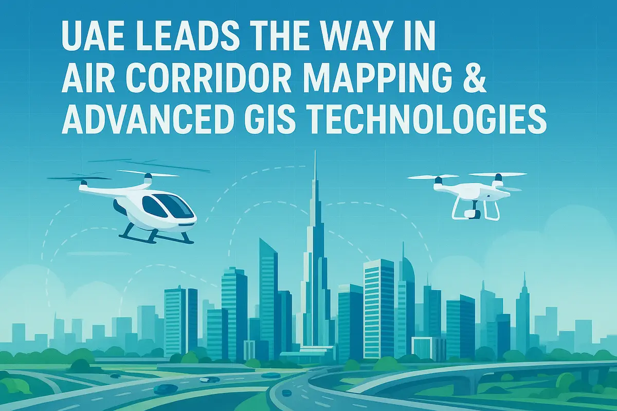
The United Arab Emirates (UAE) has long been recognized as a global leader in smart city innovation, futuristic transport systems, and cutting-edge infrastructure. Today, the country is once again in the spotlight, spearheading a groundbreaking initiative in air corridor mapping for drones and air taxis, powered by advanced Geographic Information Systems (GIS) and mobile mapping technologies.
This transformative step not only reinforces the UAE’s role as a pioneer in smart mobility but also demonstrates the nation’s commitment to creating safer, more efficient, and future-ready urban environments. At the heart of this innovation are companies like Takheet Survey, offering the geospatial expertise needed to turn visionary projects into reality.
Understanding GIS & Mobile Mapping Systems
Before exploring the UAE’s latest airspace mapping projects, it’s important to understand the technologies making them possible:
- GIS (Geographic Information Systems): A framework for gathering, managing, and analyzing spatial data. It enables planners to visualize and interpret location-based information in 2D and 3D.
- Mobile Mapping Systems: These combine LiDAR, GNSS, cameras, and sensors mounted on vehicles or drones to capture detailed geospatial data quickly and accurately.
- Digital Twins: Virtual replicas of physical environments used to simulate, plan, and monitor urban developments.
Unlike traditional surveying methods, which are slower and limited in scope, mobile mapping provides a scalable, real-time, and high-accuracy solution — essential for managing air corridors in complex urban areas like Dubai.
UAE’s Pioneering Air Corridor Mapping Projects
Mapping for Air Taxis & Cargo Drones
In early 2025, the UAE officially began mapping dedicated air corridors for air taxis and drone deliveries. This historic project aims to regulate and enable safe routes for aerial vehicles, marking a milestone in future mobility.
- Air taxis are expected to reduce traffic congestion while providing eco-friendly, rapid travel.
- Cargo drones will streamline logistics, making same-day and even same-hour deliveries possible.
With air corridors precisely mapped using GIS and mobile LiDAR systems, the UAE is laying the groundwork for a fully integrated urban air mobility (UAM) ecosystem.
Dubai Municipality’s “Dubai Here” Digital Mapping System
Dubai has also launched the “Dubai Here” platform — a comprehensive 2D and 3D mapping system that provides detailed replicas of:
- Landmarks
- Service lines and utilities
- Roads and infrastructure
- Government and public facilities
This digital platform allows authorities and private stakeholders to visualize and analyze urban assets in real time, improving decision-making and reducing duplication of effort. For companies like Takheet Survey, the integration of mobile mapping outputs into “Dubai Here” represents a powerful opportunity to support both public and private sector projects.
Partnerships & Strategic Geospatial Collaborations
Innovation in mapping is also being driven by collaborations between government entities and private companies:
- Partnerships with Fujairah GIS Center, Emirates Transport, and Emarat are enabling new mapping applications for infrastructure, utilities, and transport.
- The introduction of the Neurogeocoder API has enhanced precision geocoding, ensuring more reliable navigation and location-based services.
Such collaborations highlight the UAE’s commitment to creating a comprehensive geospatial ecosystem that supports both everyday services and futuristic mobility.
Advanced GNSS & Satellite Integration
No mapping system is complete without satellite support. The UAE recently became the first government entity in the region to join the International GNSS Services (IGS), a global network that provides highly accurate satellite navigation data.
Additionally, projects like Etihad-SAT are improving the nation’s ability to gather real-time, high-precision geospatial data from space.
This integration of GNSS (Global Navigation Satellite Systems) with GIS and mobile mapping ensures unparalleled accuracy for air corridor development, making drone and air taxi navigation safer and more reliable.
The Role of Mobile Mapping in Air Corridor Development
Air corridor mapping requires far more than traditional surveying. Mobile mapping systems are crucial because they:
- Capture 3D city models with millimeter accuracy.
- Detect obstacles such as towers, bridges, and buildings.
- Model safe flight paths for drones and air taxis.
- Continuously update maps as urban environments evolve.
For example, vehicle-mounted LiDAR systems can scan roads and surrounding infrastructure, while drone-based mapping units extend coverage to inaccessible areas. Together, these systems provide the real-time, high-resolution data needed to design and maintain safe air corridors.
Challenges in Air Corridor Mapping & GIS
Despite its promise, the adoption of advanced GIS and mobile mapping in the UAE faces some challenges:
- Data Management: Mapping generates massive datasets requiring robust storage and processing infrastructure.
- Regulatory Concerns: Airspace mapping must comply with aviation safety and privacy laws.
- Cost vs. Accuracy: High-precision LiDAR and GNSS solutions can be expensive to implement at scale.
- Inter-Agency Coordination: Data sharing between government and private entities needs seamless integration.
Fortunately, the UAE has demonstrated its ability to overcome such barriers through policy innovation, investment in R&D, and public-private partnerships.
Takheet Survey Company – Supporting the UAE’s Smart City Vision
As a trusted leader in surveying and geospatial services, Takheet Survey Company is ideally positioned to support the UAE’s ambitious mapping initiatives. With expertise in:
- GIS consulting & implementation
- Mobile LiDAR & 3D mapping
- Drone-based aerial surveying
- Utility and infrastructure mapping
Takheet provides government agencies, developers, and private companies with the accuracy and reliability they need to succeed.
By aligning its services with national projects like air corridor mapping and platforms like “Dubai Here”, Takheet ensures its clients remain at the forefront of innovation and compliance.
Future Outlook – 2025 and Beyond
Looking ahead, the UAE’s investments in air corridor mapping and advanced GIS technologies will pave the way for:
- Autonomous mapping agents powered by AI.
- Real-time air traffic management systems for drones and air taxis.
- Smarter logistics networks, where delivery drones operate on scheduled, mapped corridors.
- Urban digital twins that evolve dynamically, updating as cities change.
Between 2025 and 2030, experts predict the UAE will become a global hub for geospatial innovation, exporting its expertise to other countries while continuing to drive smart mobility domestically.
FAQs
What is air corridor mapping, and why does it matter?
Air corridor mapping defines safe routes in urban skies for drones and air taxis, preventing collisions and ensuring efficient air traffic.
How do mobile mapping systems improve air traffic planning?
They provide detailed 3D data for cityscapes, enabling planners to detect obstacles and model safe, real-time flight paths.
Is Dubai ready for air taxis and drone deliveries?
Yes, with mapped corridors, digital twins, and regulatory frameworks, Dubai is preparing for commercial deployment in the coming years.
What technologies power “Dubai Here” mapping?
It uses GIS, mobile mapping, LiDAR, and satellite data to provide 2D/3D interactive maps of infrastructure and services.
How accurate are the UAE’s GIS and GNSS systems?
With GNSS integration and satellite systems like Etihad-SAT, the UAE’s mapping accuracy is among the best globally, suitable for air traffic management.
Comments are closed