How Scan-to-BIM Works and Why It’s Beneficial for UAE Construction Projects
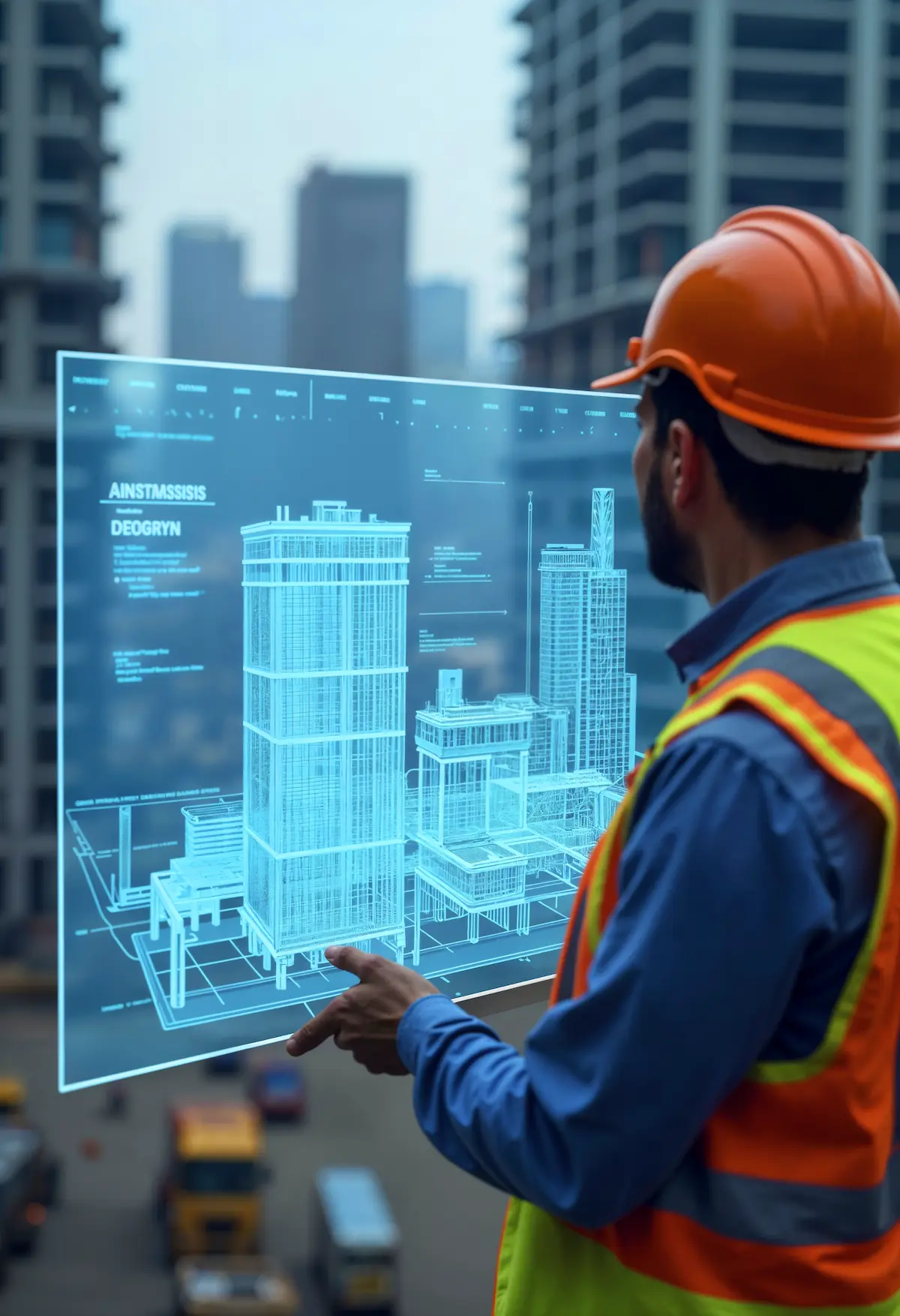
Scan-to-BIM is a process that converts 3D laser scanning data into a digital Building Information Model (BIM). In UAE construction projects, this workflow captures accurate measurements of existing structures and converts them into precise digital models used for design coordination, renovation planning, and infrastructure management. Why
Read More