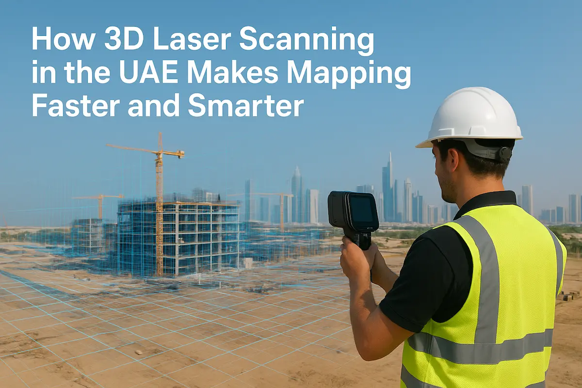
Category: 3D Laser Scanning

mobile-mapping-uae-takhteet

Mobile Mapping in the UAE: Transforming Infrastructure & Mobility with High-Precision Geospatial Data

In the United Arab Emirates (UAE), rapid infrastructure growth, smart city ambitions, autonomous mobility initiatives and large-scale redevelopment mean that accurate, up-to-date geospatial data is no longer optional — it is foundational. That’s where the field of mobile mapping in the UAE plays a central role:

Read More
3d-laser-scanning-uae-takhteet

How 3D Laser Scanning and Mapping UAE Is Redefining Surveying in the Emirates

In the fast-growing construction and development environment of the United Arab Emirates, precision and speed are not optional — they are essential. 3D laser scanning and mapping UAE is taking the surveying and mapping industry to a whole new level. For companies, architects, engineers, and government

Read More
terrestrial-laser-scanner-thakhteet

How Terrestrial Scanning and 3D Laser Technology Are Revolutionizing Land Surveys and Aerial Mapping in the UAE

In today’s fast-paced world, where accuracy and efficiency are more crucial than ever, technologies like terrestrial scanning and 3D laser scanning are transforming how we approach land surveys and aerial mapping. Gone are the days of slow, manual measuring techniques.  Today’s tools are fast, incredibly precise,

Read More
3D-Lasser-Scanning-Capturing-Reality

Why 3D Laser Scanning & Modelling Is Transforming Land Surveys in the UAE

In today’s fast‑evolving landscape of UAE infrastructure, construction, and real estate development, 3D laser scanning and modelling are no longer a luxury; it’s a necessity. Whether you’re involved in urban development in Dubai or large‑scale real estate projects across the Emirates, Takhteet Survey Company UAE leads

Read More
Purpose of a 3D Laser Scanner in Advanced Surveying | Takhteet Survey

3D Laser Scanning: Purpose of a 3D Laser Scanner in Advanced Surveying

In any construction or engineering project or when it comes to infrastructure development, perfection is essential. Small mistakes may, in turn, entail expensive time wastage, jeopardize the safety of those involved, or cause the project to fail. That is why modern surveyors are pursuing more effective

Read More
How 3D laser scanning is revolutionising land development | Takhteet Survey

How 3D Laser Scanning is Revolutionising Land Development

The modern world of land development is experiencing rapid change because of 3D laser scanning technology, which serves as its primary catalyst. The emerging technology transforms project planning as well as execution while finishing projects through increased accuracy, superfast performance and optimal efficiency. UAE officials in

Read More
How 3D Laser Scanning is Transforming Construction | Takhteet Survey

How 3D Laser Scanning is Transforming Construction

Technology has continued to advance in the construction industry in the last decade one such noble innovation is 3D laser scanning. This technology revolution is revolutionizing the architecture and engineering profession as well as construction and project managers. Hence, it can be concluded that a high

Read More
The Role of 3D Laser Scanning in Modern Construction | Takhteet

The Role of 3D Laser Scanning in Modern Construction

The construction business is becoming more and more complex because of innovation that is adopted to enhance the productivity, quality of work, cost estimates and execution plans of projects. 3D laser scanning is one of the transformative technologies that has found a way in today’s construction

Read More
Traditional Surveying vs. 3D Laser Scanning | Takhteet Survey

Comparing Traditional Surveying vs. 3D Laser Scanning

Construction and infrastructure projects cannot operate efficiently without effective surveys. In the past data collection equipment used by surveyors included theodolites, total stations, and measuring tapes. Although these techniques were effective in the past, the growth of technology offers much more efficient and accurate results. There

Read More
The Role of 3D Laser Scanning and Modelling in Modern Surveying | Takhteet Survey

The Role of 3D Laser Scanning and Modelling in Modern Surveying

Surveying is a field in which accuracy and speed are valued greatly. Every construction project is unique and since construction work involves the use of metrics the more complicated the work the more complex the metrics; this is why with the ever-rising complexity of construction works

Read More